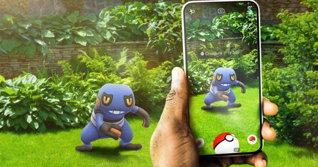
Everyone in tech seems to be into AI these days, developer Niantic doesn’t want to be left behind. With the help of images captured through the Pokémon Go app, the company is helping its spinout Niantic Spatial endeavour, which focuses on “geospatial AI” and digital maps of the physical world. Niantic Spatial’s long-term goal is to enable machines, robots, and AR glasses to understand, navigate, and interact with the physical world with centimeter-level precision.
Via GamesRadar, we’ve learned about how Niantic is using images collected through the Pokémon Go app to perfect and reshape digital maps of our surroundings. As always, the payment for free-to-play games and apps isn’t immediately obvious, and before you start complaining about being misled, Niantic’s term and conditions do state images “are banked as mapping data.” And per this new report, it seems we know precisely what this data is being used for.
MIT Technology Review’s article on Niantic’s AI spinout, which includes chatter with CTO Brian McClendon, is quite revealing. It elaborates how Niantic Spatial is collaborating with companies like Coco Robotics, “a startup that deploys last-mile delivery robots in a number of cities across the US and Europe.” The partnership started when “everybody thought that AR was the future.” While that didn’t pan out, it doesn’t mean AR is useless.

“Niantic Spatial has trained its model on 30 billion images captured in urban environments.” Usually, the images themselves, together with precise metadata, can analyse recognisable environments, landmarks, iconic buildings, and whatnot to better pinpoint when and where exactly the mobile phones took them. “Maps are not only becoming more detailed; they are being used more and more by machines,” says McClendon.
Whereas other companies are fighting over LLMs and the (re)creation of information from scratch, Niantic is moving in a different direction. “I’m very focused on trying to re-create the real world,” concluded McClendon. This may come as a surprise to some users, however, that did not read the small print and will be surprised to learn how the data from their Pokémon adventures could be used to create a Large Geospatial Model with applications that could be used by companies such as Amazon, DoorDash, or even the military industrial complex.